Little Paxton (TN) Weather Station
Situated at
Latitude 52° 15'N
Longitude 0° 16'W
Height above mean sea-level 17 metres

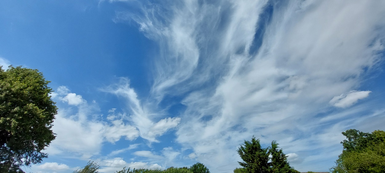
Afternoon cirrus cloud, Little Paxton 27th June 2025
The village of Little Paxton lies on the banks of the River Great Ouse in the south of the former county of Huntingdonshire (now part of Cambridgeshire) close to the county boundary with Bedfordshire. The weather station is located centrally in the village close to St. James Church. Observations of temperature, humidity, air pressure and rainfall commenced on 21st July 2013, followed by wind speed and direction, and sunshine duration on 17th August 2013.
Click on the following links for live data, current month observations and historical observations.....
Daily Weather Observations (Current month)
Daily Weather Observations (Historical)
Site maintained by Richard Barker, Met. Observer, Little Paxton (TN) Weather Station. Comments welcome.
(This page last updated 30th June 2025 2012 GMT)